Choose a Narvik hike that fits your day
Start with Tøttadalen, build up to a viewpoint and treat the high summits as a separate mountain objective.
- Taraldsviktoppen is about 1.5 km each way
- Rombakstøtta includes exposed scrambling
- The gondola is closed pending its planned January 2027 opening
Practical walking choices near Narvik, with honest terrain differences, access checks and a return plan.
A plan with room to breathe
A flexible outing near town
Start at the mini power plant
Use the signed trail entrance and confirm parking locally.
Decide at Førstevannet
Stop at the lake or continue to Taraldsviktoppen if footing and energy suit everyone.
Return the same way
Leave time for breaks and keep the descent unhurried.
Green grading assumes suitable conditions. It does not establish wheelchair access.
A deliberate step into harder terrain
Match the group to the route
Discuss scrambling experience and hire a guide where needed.
Check weather and transport
Confirm your return connection, map and turnaround time before setting off.
Change the objective early
Choose the valley walk when cloud, wind, snow or wet rock undermines the summit plan.
This planner is an itinerary prompt, not a mountain route description.
Begin near town
For a first walk, use the mini power plant at the entrance to Tøttadalen as your starting point. Visit Narvik lists parking there, roughly five minutes by car or half an hour on foot from the centre. Follow the gravel road towards Førstevannet. A lake break can be the whole outing when the group wants fresh air without committing to a summit.
Add Taraldsviktoppen
From Førstevannet, the published route turns right onto the ridge and continues over a path and smooth rock. Visit Narvik grades it green and gives about 200 metres of ascent. Allow time beyond the suggested 45 minutes uphill for children, photographs and the return. Wet rock or ice changes the experience, so keep the lake as a shorter alternative.
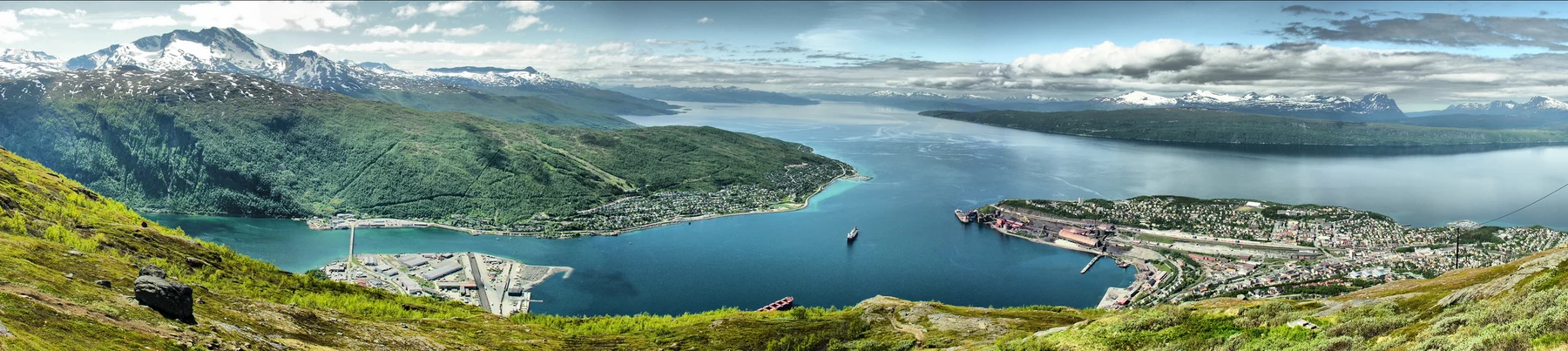
Keep Rombakstøtta separate
Tøttatoppen, also called Rombakstøtta, shares the valley approach but becomes a very demanding mountain trip. The official description identifies boulder terrain, exposed sections and a final scrambling passage. Choose it only with suitable experience, equipment and settled conditions. A familiar landmark seen from town is not a promise of straightforward access. Hire a mountain guide if the terrain is beyond your confidence.
Plan the Rallarveien connection
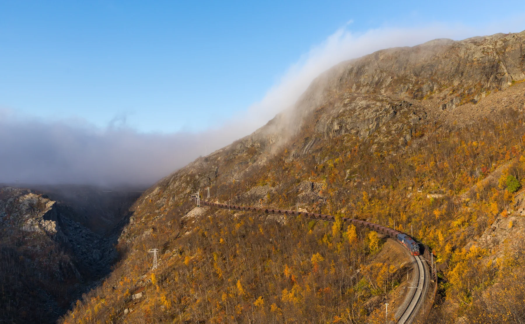
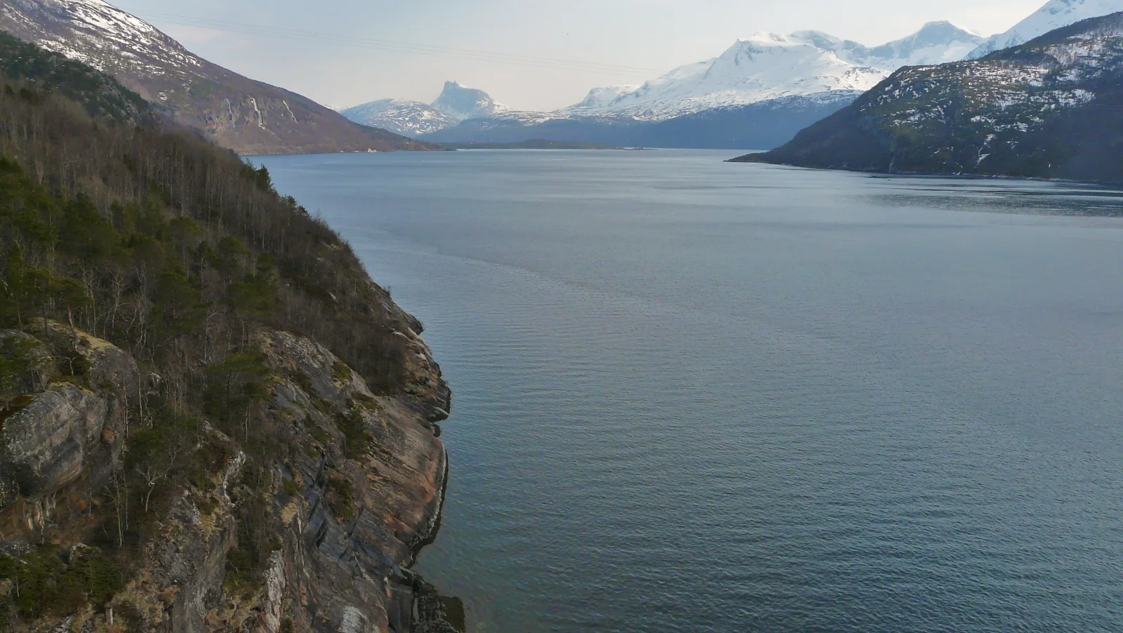
The historic construction road beside the Ofoten Railway offers a different walking experience. DNT describes gravel terrain from Bjørnfjell, but a descent towards Rombaksbotn needs transport planning. Confirm the actual train stops and any boat transfer before choosing a one way itinerary. Never assume a boat waits at the fjord or that the station where you finish has the service you need.
Pack for the return
Check Yr, take a waterproof layer, warm clothing, food, water and an offline map. Set a turnaround time that includes the slowest walker and tell someone the plan. The gondola and Mountain Restaurant are closed as checked on 20 October 2026, with a new gondola planned for January 2027. Check the operator before making mountain transport or refreshments part of a future walk.
Places on this trip
Markers show places, not a driving route or a verified parking space. Follow signs and check access locally.
Check available cars
Choose the walk first, then arrange a car for the journey to the agreed starting point. Tell us about passengers and outdoor equipment when comparing luggage space.